At the southernmost corner of the City of Lynn, near the General Edwards Drawbridge, a large unused parcel of land is in the early stages of redevelopment. Before about 1890, the entire surrounding area was low, flat marshland, making it an ideal setting for landfill to enable the construction of railways, highways, and large industrial parcels of land. The southernmost tip, as the most exposed area, was enclosed behind a two-tier wooden bulkhead seawall and filled with gravel in 1938 as part of the creation of the “Heavy Industrial District.” At first it was home to the Lynn Gas and Electric Company, and over the years held a drive-in theater, a coal tar disposal site, garbage dump, parking lots, nightclubs, big box stores, and a flea market.


Site Description
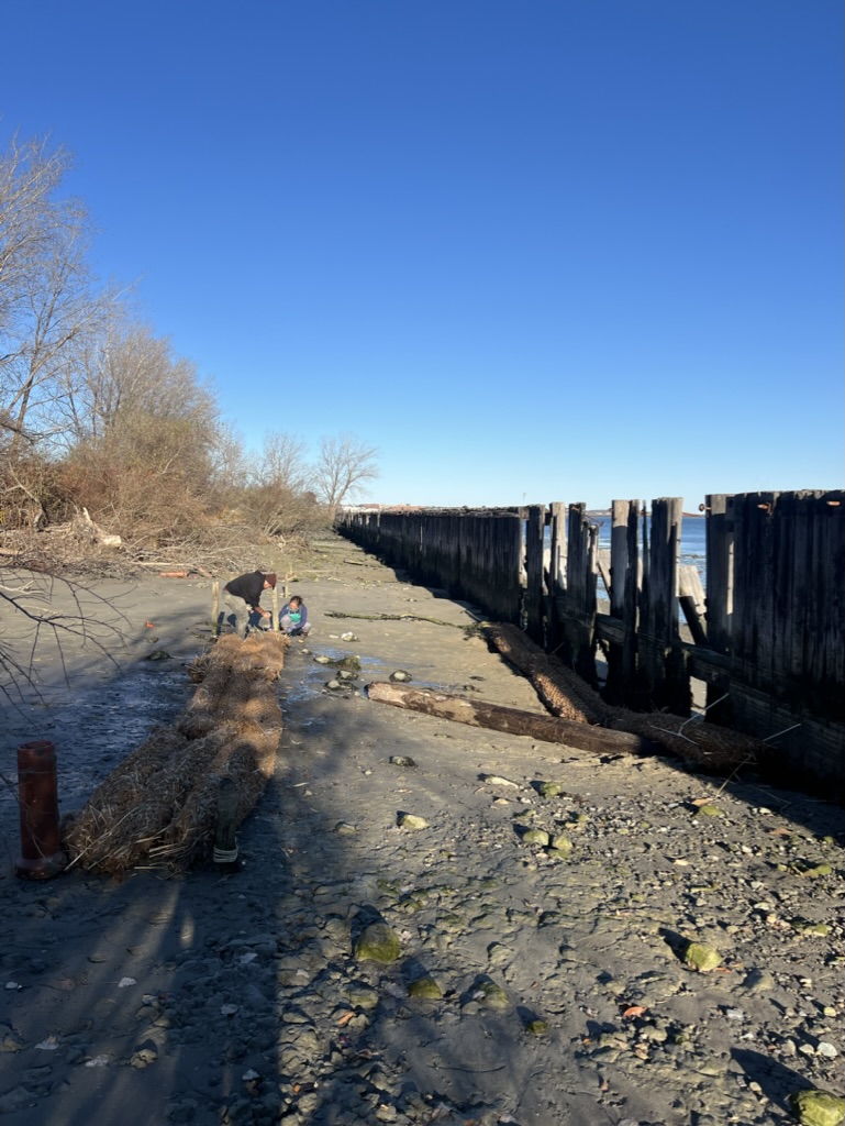
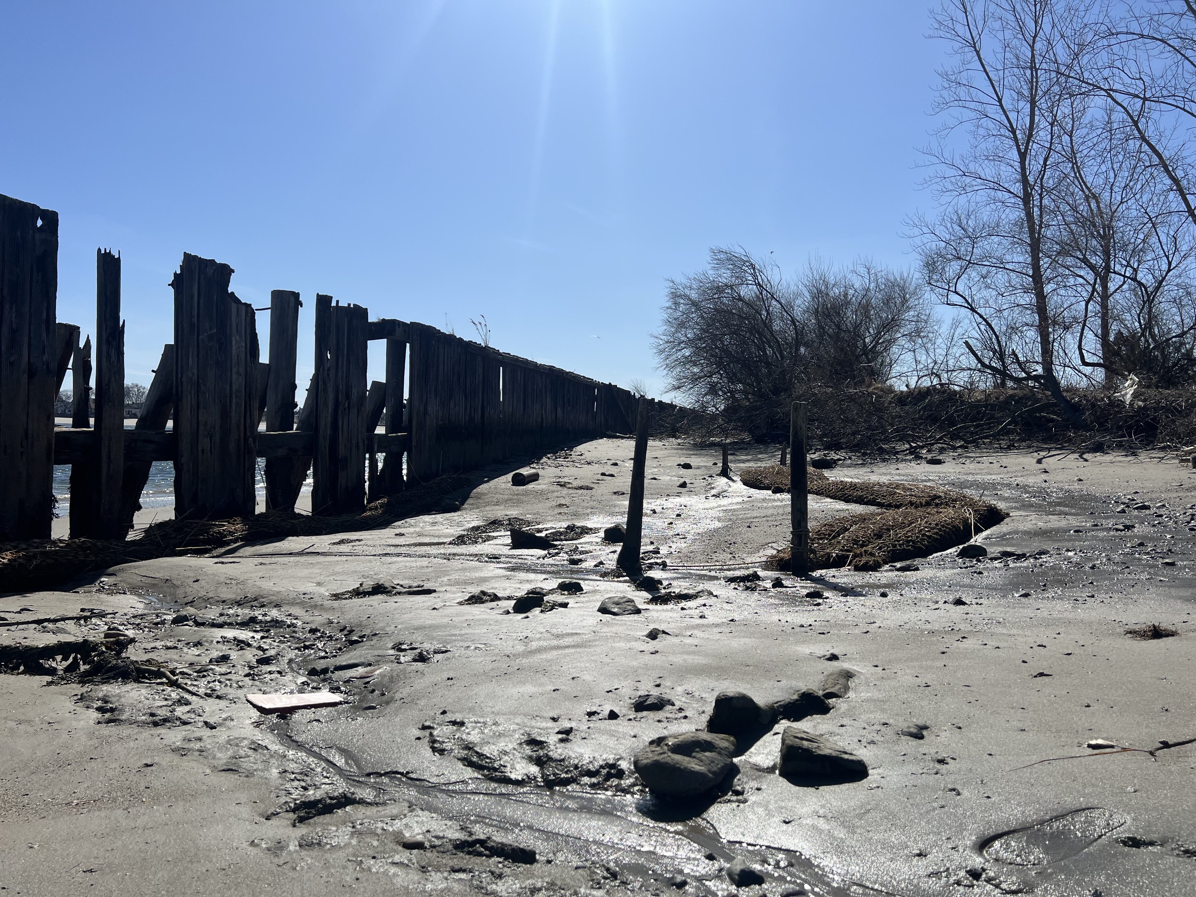
At the edge of the parcel, an eroding intertidal sandy beach lies behind the wooden bulkhead seawall that has been breached and undermined over time. The seawall suffers from significant regular erosion and sediment washout as the ocean fights to take back the land. The sandy beach is blocked from significant wind and weather by the seawall remnants, but some sections are completely missing and the land is exposed to the mouth of Lynn harbor. These factors make the site a compelling use case for a constructed marsh to stop erosion, improve sediment retention, and create valuable habitat.

Prototypes

Stuffed Net Tube living shoreline prototypes were deployed at the sandy beach in Lynn. Six units were linked between pairs of wooden posts that sit 30 feet landward of the failing seawall. Three more units were affixed directly to the inside and the outside of the wooden seawall, running longitudinally between the pilings. No plants were added to these prototypes, as they were deployed too late in the season for a reasonable chance of survival.
Monitoring
Photos taken periodically of the sandy beach from four fixed-position locations track any sediment changes over time. Additionally, during site visits, we measure the height of the wooden posts exposed above the adjacent sand in order to track any changes in sediment. The third vertical measurement is taken from the sediment to a fixed location on the landward face of the seawall, to track erosion (or accretion) over time.


Successes & Failures
Successes:
- The decaying double-layer seawall provides a unique environment to test the performance of a living shoreline as a sediment trap. This also allows us to test living shorelines as an amendment to broken or breached hard infrastructure.
Failures:
- Transportation of prototypes and access to the site is more challenging, because the site is located miles away from our headquarters in East Boston.
- Keeping the living shoreline units in place is tricky as compared to the Border Street Waterfront site, as the nearly bare, sandy beach is not conducive to attachment.
- The high wave energy that has caused the seawall to decay, broke apart the prototypes attached to the outside of the seawall. The Phragmites fell out from the prototypes and left only the coconut fiber net in some cases.


