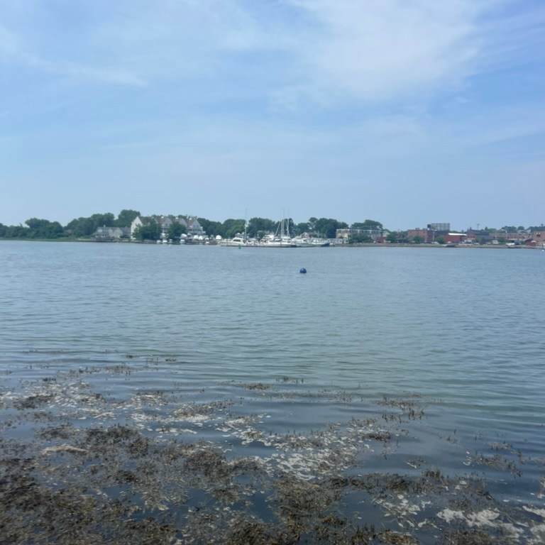
The Neponset River divides the cities of Boston and Quincy, MA; its lowest three miles are a brackish tidal river, and its extensive watershed stretches all the way to Foxborough, MA. We anchored two prototypes in a nearshore marshy area at the mouth of the Neponset River, exposed to strong tidal currents and moderate waves and weather. In 2023, after receiving permission from the Quincy harbormaster, we coordinated with the Neponset River Watershed Association for the deployment of these units.


Site Description
The Neponset River is one of the three major watersheds that empty into Boston Harbor; its lower salt marsh was interrupted by 1950s-1970s industrial development and the construction of the I-93 highway, which have had far-reaching ecological consequences, especially upstream where vast swaths of Phragmites have overtaken a former salt marsh. We deployed two prototypes about 3,500 feet from the mouth of the river, where the river narrows to about 1000 feet and the tidal range is about 12 feet, adjacent to a natural saltmarsh.
This site is an ideal location to study how the prototypes function in an area with natural (rather than hardened) shorelines lined with fringing marsh and with tidal flow. Also, the site is just outside of the jurisdiction of Boston’s Conservation Commission, making permitting simpler by orders of magnitude. The access point to the prototype deployment location is a kayak launch with a shallow sandy slope, making water access easy.
Prototypes

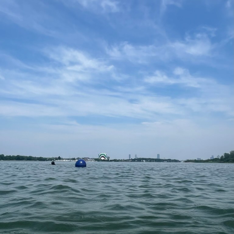
Two Spiral Net Prototypes were deployed on individual moorings in the Neponset River, about 50 feet from each other and 100 feet from shore. The units were connected to a standard mooring with anchor, leader, and buoy.
Monitoring
The prototypes were deployed in September 2023; although they were identical, one floated perfectly and one tilted irregularly and sat much lower in the water a few months later. When we returned in March of 2024 the buoys were visible but the prototypes were not present (see Failures section below). Additionally, the buoy closest to the mouth of the river had moved more than 500 feet downriver.


Successes & Failures
Successes:
- The river environment was unique and could have provided some interesting information about the ecological range of our prototypes.
Failures:
- Without the ability to regularly monitor the site and the prototypes, it is difficult to draw conclusions from sparse observation data.
- Both prototypes disappeared, and the failure reason(s) of these prototypes are not fully known. Our best guesses are:
- The prototypes sank because buoyancy foam either degraded or became dislodged
- Strong forces and variable flow directions on the single omnidirectional mooring line caused extreme unit stress and breakdown
- Vandalism or accident